
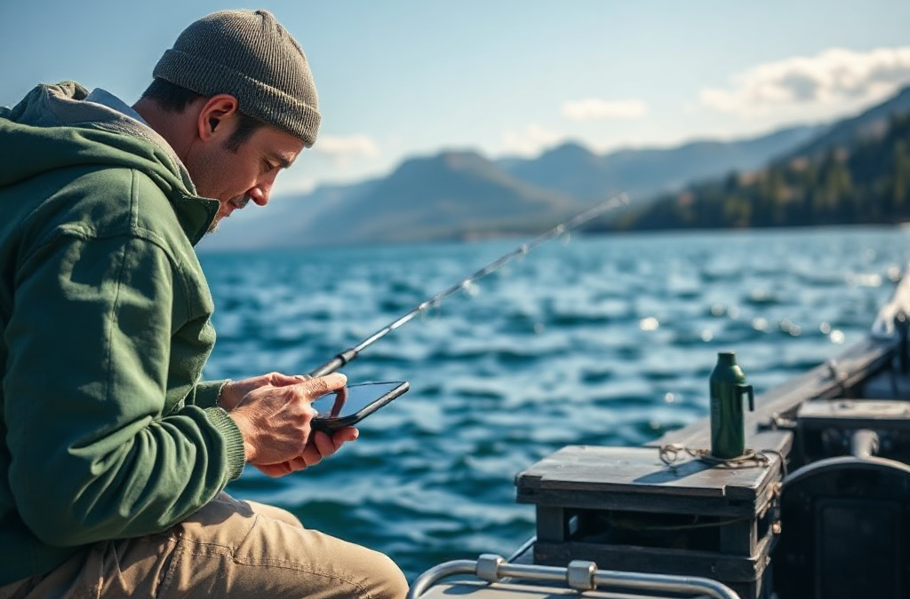
How to use technology to improve your fishing trips means combining weather and water forecasts, digital maps, GPS, sonar, and organized catch notes instead of relying on a single gadget. Check conditions before departure, mark productive structure without crowding sensitive areas, and use sonar to interpret depth changes, cover, and bait presence rather than merely watching the screen. A phone with offline maps can preserve navigation when service disappears, while a portable power bank protects access to charts and emergency contacts. Technology improves decisions by revealing patterns and reducing wasted travel, but it cannot replace local knowledge, safe boating judgment, or attention to changing weather.
Plan the Trip With Reliable Digital Information
Technology is most useful before the first cast, when it can narrow a large body of water into a realistic plan. Weather apps, tide tables, water-level reports, sunrise and sunset data, and launch information help you decide whether a trip should focus on shallow cover, current breaks, sheltered banks, or a shorter nearshore route. The value comes from combining signals. A forecast showing light wind does not automatically mean calm conditions at an exposed lake point, and a favorable tide does not guarantee that a particular inlet will be safe or productive.

Compare at least two trustworthy forecast sources when conditions matter, then look for agreement rather than chasing the most optimistic prediction. Wind direction affects both boat control and where floating food or plankton may collect. Rain can alter runoff, visibility, and water level, while a sharp temperature change may shift fish location. A practical plan might identify two primary areas, one protected alternative, and a time to leave if conditions deteriorate.
Digital planning also exposes a common mistake: treating an app prediction as a promise. Forecast models describe broad conditions, not the exact turbulence around a rocky point or the water clarity at a creek mouth. Local observations should override a neat-looking screen. Before launching, check actual wind, lightning, access restrictions, and water conditions. Use how to use technology to improve your fishing trips as a decision process, not as a reason to ignore direct evidence.
A compact pre-trip checklist is more useful than opening ten apps without a plan:
- Confirm weather, wind, precipitation, and daylight limits.
- Download maps or charts for areas where phone service may fail.
- Check launch status, access rules, and local notices.
- Choose a primary location, a backup area, and a turnaround time.
The best technology choice depends on the trip. A shore angler may need only radar, maps, and a weather alert, while a boat angler benefits from chartplotter data and navigation redundancy. Paying for advanced features makes little sense if the basic information is not being checked consistently.
Use GPS and Digital Maps Without Losing Local Judgment
GPS and digital maps improve fishing trips by showing access points, depth contours, bottom features, navigation hazards, and previously recorded locations. Their strongest benefit is repeatability: you can return to a productive ledge, brush pile, current seam, or shoreline break without guessing from memory. Marking a location immediately after finding it is more accurate than attempting to reconstruct it at the end of a long day.
Map interpretation requires more than following a highlighted route. Contour lines reveal how quickly depth changes, and a tight cluster of lines often identifies a drop-off or channel edge. A broad flat beside a deeper basin may be more useful during one seasonal period, while a sharp point can concentrate fish when current or wind pushes food across it. Satellite imagery can reveal visible structure, but imagery may be old, obscured by water level, or misleading in stained water. Treat it as a planning layer, not a substitute for observation.
GPS accuracy and map position can also create false confidence. A mark placed on a submerged feature may appear precise while the boat is drifting, and a route that looks short may cross shallow water, restricted zones, or rough exposure. Keep navigation information secondary to safe speed, depth awareness, shoreline references, and local rules. A paper chart, compass, or basic backup device remains sensible when a trip depends on returning safely.
Privacy and stewardship matter when storing waypoints. Avoid broadcasting exact locations of fragile habitats or crowded public spots, and do not assume a marked area is yours to claim. A useful system can use descriptive labels such as “windward drop” or “clear-water grass edge” rather than only recording a coordinate. That label preserves the reason the location mattered, which improves future decisions.
On a reservoir, for example, a map may show an old creek channel crossing a flat. The productive feature is not necessarily the deepest point; it may be the channel’s edge where depth, cover, and feeding opportunities meet. Mark the edge, note the water condition, and revisit it under different wind or light conditions. This combines digital precision with the interpretation provided by how to use technology to improve your fishing trips in a real setting.
Read Sonar and Fish-Finding Technology Correctly
Sonar is a measuring tool, not a fish guarantee. It sends sound through the water and displays returns from the bottom, objects, and suspended targets. The screen can help identify depth, bottom hardness, vegetation, timber, bait concentrations, and changes in structure, but the display depends on settings, speed, transducer placement, water conditions, and the operator’s interpretation.
Begin by learning what an unoccupied bottom looks like at different depths. A continuous line is easier to interpret once you know how clutter, sensitivity, and scrolling speed affect it. Fish arches are not the only useful return; a small change in bottom composition or a suspended group of bait may matter more than a prominent isolated mark. Down imaging and side imaging can clarify structure, while traditional sonar may show movement and depth more effectively when the boat is traveling or the water column is difficult to interpret.
One frequent failure is turning sensitivity up until the screen looks busy, then treating every mark as a fish. Excessive clutter hides meaningful edges. Another mistake is idling quickly over a spot and assuming the image represents the entire area. Side-imaging coverage changes with depth and settings, and a feature deserves a slower pass from more than one direction when safety and conditions allow.
Use sonar to form a testable hypothesis. If the display shows bait near a channel edge, position the boat so casts cover the edge and the nearby flat, then compare bites, follow-ups, and repeated returns. If fish symbols appear but no presentation produces activity, consider depth, lure speed, species identification, and boat positioning before declaring the electronics wrong. Conversely, catching fish where the screen appears empty may indicate that the targets are tight to cover, below the transducer beam, or poorly represented by the current settings.
Advanced equipment does not automatically outperform a simple unit. A clear, well-understood display used consistently can produce better decisions than a feature-rich system operated at excessive speed. Protect the transducer, keep firmware and charts current when updates are appropriate, and record the settings that make local structure easiest to recognize.
Turn Catch Records Into Better Future Decisions
Digital logs convert scattered memories into comparisons. Record the date, location type, species, depth, lure or bait, retrieve or presentation, weather, wind, water clarity, and approximate time of activity. The purpose is not to create a perfect scientific database; it is to preserve the conditions that explain why a decision worked or failed.
Photos can add useful context when they show the lure, fish size, water color, or surrounding structure, but a photograph alone rarely explains the result. Add a short note such as “first activity after wind reached the rocky bank” or “marks present, no bites until presentation moved above vegetation.” Those observations help separate a repeatable pattern from a memorable fluke.
Review the log between trips rather than only at the end of a season. Look for repeated combinations, not isolated catches. Several entries may show that a certain shoreline becomes useful when wind pushes into it, or that a deep basin produced marks but few bites compared with a nearby transition. The record should guide the next experiment while leaving room for changing water level, forage, fishing pressure, and seasonal movement.

Weak assumptions are easy to create from small samples. Catching one fish on a lure at noon does not establish that noon is the best time or that the lure caused the result. Avoid treating app-generated “best fishing times” as stronger evidence than your own verified observations. Use those predictions to choose when to fish, then let actual conditions and results refine the plan.
A simple comparison can improve the next outing: keep the location and depth similar while changing one major variable, such as lure speed or color. If you change location, tackle, timing, and presentation simultaneously, the log will show an outcome but not a useful explanation. The most valuable technology may therefore be a disciplined note-taking habit on a phone, supported by how to use technology to improve your fishing trips through maps, photos, and consistent records.
Build a Dependable, Safe Technology Setup
A dependable setup protects access to information when batteries, signal, water, or weather become problems. Keep the phone in a waterproof case, carry a charged power bank, and download essential maps before leaving coverage. Boat anglers should know which functions remain available without cellular service because GPS positioning and downloaded chart data may continue working even when calls and online map layers do not.
Redundancy should match the trip’s risk. A short bank-fishing session near a populated access point may need a charged phone and weather alerts. A remote boat trip may justify a dedicated navigation unit, backup communication method, physical chart, flotation equipment, and a written float plan. Technology supports these measures; it does not replace them. A dead battery can remove route data, forecast access, and emergency communication at the same time.
Organize screens before departure. Put weather alerts, offline maps, navigation, and logging tools where they can be opened quickly, and disable nonessential notifications that drain power or distract from boat control. Test the charging cable and mounting hardware at home. A device that slides into sunlight, overheats in a sealed case, or cannot be read while traveling is not a practical upgrade.
Protect personal and environmental information as well. Keep account passwords secure, avoid sharing live locations publicly, and follow local rules for electronic equipment and navigation. Do not let a recording task distract you from changing weather, nearby vessels, shallow water, or a fish that should be released promptly.
The right test is simple: can you explain what the device will change about your next decision? If the answer is only “it has more features,” wait. Choose the tool that solves a defined problem, learn its limits, and practice using it in low-risk conditions before depending on it offshore or in unfamiliar water.
For equipment-specific operation, consult the official manual and chart or sonar manufacturer documentation. State fish and wildlife agencies, navigation authorities, and local water managers are the most appropriate sources for access notices, boating requirements, water levels, and fishery rules. University extension programs and established fishing organizations can also provide location-specific explanations of seasonal habitat and responsible technology use.
Frequently Asked Questions
What technology should a beginner use first?
Start with a reliable weather source, offline map, phone power bank, and simple digital fishing log. Add sonar or specialized equipment after you can explain the decision each device will improve.
Can GPS work when there is no cell service?
GPS positioning may work without cellular service, but online maps, weather updates, and live traffic layers may not. Download charts and maps before leaving coverage and carry a backup navigation method.
How should anglers interpret sonar fish symbols?
Treat symbols as clues rather than proof. Compare them with depth, bottom structure, bait, speed, settings, and actual catch results before deciding where and how to present a lure.
Are fishing forecast apps accurate enough to plan around?
Forecasts are useful for identifying broad trends, but they may miss local wind, runoff, storms, and shoreline effects. Compare sources and verify conditions at the launch before committing to a route.
What should be recorded after a successful trip?
Record the date, location type, depth, species, presentation, water clarity, wind, weather, and time of activity. Add a short explanation of what changed before the bite so the result can be tested later.
Further Reading
Authoritative Sources
- Academy of Nutrition and Dietetics
eatright.orgProfessional nutrition guidance, healthy eating resources, and practical dietitian-reviewed advice.
- U.S. Department of Agriculture
usda.govOfficial food, nutrition, agriculture, and consumer guidance from the USDA.
- NIH Office of Dietary Supplements
ods.od.nih.govResearch-based fact sheets on nutrients, supplements, dietary intake, and safety considerations.
- International Society of Sports Nutrition
sportsnutritionsociety.orgEvidence-informed sports nutrition resources and position stands for active people and athletes.
Conclusion
Technology earns its place in a tackle system when it improves a specific decision: where to begin, how to travel safely, which structure to inspect, or what pattern to test next. Weather and water information should shape the plan, offline maps and GPS should support navigation, sonar should be interpreted alongside structure and presentation, and digital records should reveal patterns without turning small samples into rules. Keep batteries, signal loss, and equipment failure in the plan, especially on remote water. For the next trip, choose one tool to use more deliberately, download what you need before launch, mark observations with reasons, and compare the result with changing conditions. Better data can sharpen judgment, but attention, safety, and on-water observation remain the final checks.

