
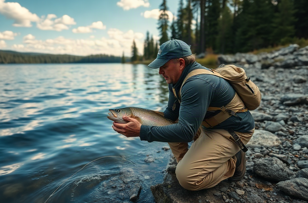
Find hidden fishing spots in local waters by combining map research with legal access checks and short shoreline surveys before committing to a full session. Study contour changes, creek mouths, backwaters, culverts, points, and vegetation edges, then verify water depth, current, clarity, bait activity, and casting room on site. Visit during different water levels or tides because promising structure may appear only under certain conditions. Prioritize overlooked water near public access rather than trespassing to reach remote-looking areas, and keep a dated log so repeated observations reveal which spots consistently hold feeding fish.
What you’ll learn
This guide covers the following practical points:
- Read Maps for Structure Fish Can Use — Digital maps become useful when you search for changes rather than simply searching for blue water.
- Confirm Legal Access Before Visiting — Access research should eliminate unsuitable locations before you drive to them.
- Read Water and Shoreline Clues on Site — On-site scouting determines whether a map feature functions as expected.
- Test Candidate Areas Efficiently — A scouting session should answer whether a location deserves another visit, not extract every fish from it.
Read Maps for Structure Fish Can Use
Digital maps become useful when you search for changes rather than simply searching for blue water. Fish commonly relate to places where depth, current, cover, temperature, or food availability changes over a short distance. On a lake, that might be a point dropping into deeper water, an inside turn along a weed line, or a narrow channel beside a shallow flat. In a river, it could be a creek junction, bridge constriction, outside bend, side channel, or slack pocket behind an obstruction.
Start with satellite imagery to identify visible features such as vegetation bands, rock banks, flooded timber, culverts, marinas, feeder streams, and undeveloped shoreline. Then compare that image with a topographic or bathymetric map when one is available. Closely spaced depth contours indicate a steeper break; widely spaced contours indicate a gradual slope. A subtle ditch crossing a flat may give fish a deeper travel route even when the surrounding area looks featureless from shore.
Historical imagery can reveal details hidden by current water conditions. A reservoir photographed during low water may expose old roadbeds, channels, foundations, riprap, or isolated stumps. River images taken in clearer or lower flows may show gravel bars and deeper seams. Treat old imagery as a clue rather than a current navigation chart: floods, sediment, vegetation growth, construction, and changing water levels can alter the site.
Scale matters when evaluating a candidate. A large bay visible from a regional map is not yet a spot. Zoom in and isolate the smaller intersection where two useful features meet, such as a drain entering a vegetation edge or a point touching the old creek channel. Those intersections give you a specific area to inspect rather than hundreds of yards of undifferentiated shoreline.

A common mistake is equating remoteness with quality. A distant pond or secluded bank can be shallow, inaccessible, closed, or biologically unproductive. Meanwhile, a modest culvert pool beside a public road may concentrate current, oxygen, and drifting food. The better map target is a place with a plausible fish-holding mechanism and lawful access, not merely a place that looks secret. That distinction is central to how to find hidden fishing spots in local waters without wasting scouting time.
Confirm Legal Access Before Visiting
Access research should eliminate unsuitable locations before you drive to them. Property boundaries, fishing rights, parking rules, launch restrictions, seasonal closures, and permitted hours can differ even along the same body of water. A waterway visible from a public bridge is not automatically open for fishing from the adjacent bank, and navigable water does not necessarily grant permission to cross private land to reach it.
Check the relevant state or provincial fish and wildlife agency, municipal park pages, land-management maps, and posted notices. County or local parcel maps may help distinguish public land from private parcels, but they should not replace signs or official rules at the site. If ownership remains unclear, contact the managing office or obtain direct permission from the landowner. Do not interpret a worn path, an open gate, or discarded line as evidence that public access is allowed.
Public access points often contain overlooked water within a short walk. Instead of leaving the legal area in search of isolation, inspect the edge of the boat ramp basin, downstream side of a bridge, outer corner of a fishing pier, transition from mowed bank to reeds, or channel beside a public causeway. Most visitors cast toward the most obvious open water. Fish may instead use shade lines, current breaks, depth changes, and cover along the margins.
Evaluate practical safety at the same time. A legal bank can still be unsuitable because of unstable mud, steep riprap, overhead power lines, fast releases, thin ice, incoming tides, or no safe route back after dark. Remote spots also reduce the margin for error if you fall, become stranded, or need assistance. Tell someone where you are going, carry a charged phone in protected storage, and avoid wading unfamiliar water when depth or current cannot be judged.
The strongest candidate is not necessarily the least visited one. It is the place where useful habitat, lawful entry, safe footing, and manageable fishing pressure overlap. If access depends on squeezing around a fence, parking on a narrow shoulder, crossing active rail infrastructure, or ignoring a closure, reject it. A repeatable legal spot is more valuable than a supposedly hidden location you cannot responsibly return to.
Read Water and Shoreline Clues on Site
On-site scouting determines whether a map feature functions as expected. Begin by watching the water for several minutes before unpacking tackle. Look for current seams, wind-driven surface lanes, changes in water color, dimples from small baitfish, insects gathering over one bank, birds working a compact area, or isolated surface strikes. One sign can be misleading; several signs occurring near structure make a stronger case.
Current reveals feeding positions in rivers and tidal water. Fish often avoid the strongest flow while holding close enough to intercept food moving past. A visible seam between fast and slow water, the downstream pocket behind a boulder, or the soft edge below a bridge support can offer that balance. Cast across the boundary and let the presentation enter the slower water naturally rather than dropping it repeatedly into the turbulent center.
Still waters require a different reading. Wind can push plankton, insects, warm surface water, and small forage toward one shore, but a heavily windblown bank may also become muddy or difficult to fish. Vegetation edges, gaps in lily pads, shade beneath overhanging branches, and the first depth change outside a spawning flat deserve inspection. Polarized glasses can help reveal bottom composition and submerged cover, although glare, stained water, and low light limit what you can see.
Shoreline evidence adds context. Crayfish shells, minnows in the shallows, fresh insect activity, mussel beds, healthy aquatic plants, and transitions from sand to gravel or rock can indicate available food or cover. Footprints and line scraps reveal human pressure, not fish abundance. A heavily used bank may still produce at dawn or during poor weather, while an untouched bank may simply lack depth or food.
Check whether the promising feature is fishable. A submerged tree may hold fish but snag every bottom presentation; dense reeds may leave no landing route; a steep bank may prevent safe release. Choose an angle that lets you retrieve through the productive edge and land a fish without damaging vegetation or entering unsafe water. If the signs are absent—no depth change, no forage, stagnant water, excessive silt, or no workable casting lane—move on rather than forcing the map prediction to be correct.
Test Candidate Areas Efficiently
A scouting session should answer whether a location deserves another visit, not extract every fish from it. Carry a compact selection that can sample the surface, middle, and bottom while matching likely local forage. The exact lure or bait matters less than covering distinct depths and speeds without spending half the session changing equipment.

Use a simple testing sequence:
- Observe first: Note wind, current, water clarity, visible cover, forage, and other anglers.
- Fish the highest-percentage edge: Start where cover meets depth, current, shade, or open water.
- Change one variable: Adjust depth, retrieve speed, casting angle, or presentation rather than changing everything at once.
- Relocate deliberately: Move to a different habitat feature if the area shows no activity after a reasonable sample.
Suppose a small public reservoir has an overlooked feeder creek at its upper end. Begin at the first deeper pocket outside the inflow, then sample the current edge, nearby cover, and adjacent flat. If small fish scatter, birds feed, or you get follows without strikes, the area is biologically active and may warrant a slower presentation or a return under lower light. If the creek is silted in, oxygen-poor, and lacking depth, its attractive shape on the map has not translated into useful habitat.
Time of day and water conditions can change the result. A shallow pocket may be empty under bright midday sun but productive at dawn, during cloud cover, or when wind pushes forage into it. Conversely, a deep outside bend may become easier to fish when high flow subsides. One blank visit should lower confidence, not permanently condemn the location. Two or three checks under meaningfully different conditions provide better evidence.
A failed test often comes from fishing only the obvious center of the feature. At a creek mouth, the productive line may be the downstream sediment edge rather than the inflow itself. At a bridge, fish may use the shadow boundary or downstream eddy instead of the pilings. Anglers refining how to find hidden fishing spots in local waters should test these edges systematically and leave quickly when neither fish activity nor habitat supports the original theory.
Build a Personal Spot Database
A location becomes dependable when observations reveal the conditions that activate it. Record the date, approximate time, water level or tide stage, wind direction, clarity, temperature if available, visible forage, productive depth, and exact habitat feature. Include blank trips. Catch-only notes create a distorted record because they omit the conditions under which the same place failed.
Use specific descriptions rather than vague labels. “Fish near weeds” offers little guidance. “Two bites on the outside vegetation edge where six feet drops into ten, with wind pushing toward the point” gives you a pattern to test elsewhere. Photos can document water height and vegetation, but avoid including private property, identifiable people, or sensitive location data when sharing them.
Compare locations by reliability, access, and condition window. One backwater may produce only during spring high water, while a bridge pool remains usable through summer low flow. A shallow lake point might turn on with an afternoon wind; a shaded creek bend may be better during hot, bright periods. This approach changes a collection of pins into a working network of options for different seasons and conditions.
Protecting a small spot is partly an ethical decision. Avoid public geotagging of fragile banks, limited parking areas, spawning concentrations, or waters unable to absorb heavy pressure. Follow harvest and tackle regulations, release fish carefully when appropriate, pack out line, and avoid trampling shoreline vegetation. “Hidden” should describe an overlooked habitat pattern, not a location obtained by violating boundaries or exploiting vulnerable fish.
The database is working when it helps you predict rather than merely remember. If rising water repeatedly makes a side channel productive, you have identified a mechanism. If a location produces randomly with no supporting signs, keep it as a low-confidence option. Revisit the strongest places often enough to understand them, while continuing to scout nearby features with the same map-to-field process.
Frequently Asked Questions
What map features are most useful for locating overlooked water?
Focus on intersections of structure: creek mouths beside depth changes, points touching channels, culverts connecting basins, outside river bends, vegetation edges, and small backwaters with current or adequate depth.
Can I fish any water that appears accessible from a public road?
No. A public road or bridge does not automatically provide bank access. Verify property boundaries, parking rules, posted signs, fishing regulations, and the specific rights granted at that location.
How long should I test a new fishing location?
Stay long enough to sample the main depth zones and habitat edges, then move if you find no forage, follows, bites, or other signs. Return under different light, flow, tide, or wind before dismissing a promising feature.
Are remote fishing spots usually better?
Not necessarily. Remoteness can reduce pressure, but it cannot replace depth, oxygen, food, cover, or safe legal access. Small overlooked features near established public entry points may be more productive and repeatable.
Should I share the exact coordinates of a productive spot?
Consider the water's size, parking capacity, shoreline durability, and vulnerability of the fish. Sharing general habitat patterns is often more responsible than publishing precise coordinates for a small or sensitive location.
Conclusion
Productive local water is found by narrowing possibilities, verifying them in person, and recording what the conditions reveal. Begin with map features that combine depth, cover, current, or access to food, then remove any candidate with uncertain ownership or unsafe entry. At the water, judge the feature by forage, fishable edges, flow, clarity, and a practical landing route—not by how secluded it appears.
Choose several legal candidates close enough to inspect during one trip. Test each with a consistent sequence, note both positive and negative results, and revisit the strongest options under different water levels, winds, tides, or light conditions. Over time, your records will show not only where fish were caught, but why a particular piece of water becomes productive and when it is worth returning.

