
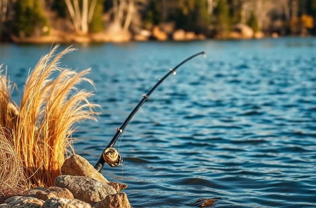
To find new fishing spots in your area, combine satellite maps, public-access records, local habitat clues, and a short scouting trip before committing to a full day. Look for points, creek mouths, submerged contours, weed edges, current breaks, and places where depth changes near available access. Confirm that the shoreline or launch is legal and usable, because a promising map location may cross private property or become unsafe after rain. Fish the first visit as a survey: cover several likely areas, change depth and lure speed, and record water clarity, forage, weather, and signs of fish activity. A blank first trip is still useful if it tells you which structure, access route, or seasonal pattern to test next.
Build a Shortlist From Maps and Local Records
New fishing water is easiest to find when you narrow a broad area into a few testable locations rather than driving randomly from one shoreline to another. Begin with satellite imagery, topographic maps, public lake maps, county park information, and state fishery pages. Search for water within a realistic travel radius, then mark locations that show more than simple proximity: an access point, a visible inlet, an isolated pond, a creek junction, a bridge, or a shoreline with irregular contours.

Satellite images reveal features that ordinary road maps miss. A narrow bay, dark vegetation line, fallen timber, riprap bank, or shallow flat beside a deeper channel may justify a visit. Topographic contours are especially useful on reservoirs because closely spaced lines indicate a faster depth change. On rivers, a map can expose outside bends, feeder streams, backwaters, and islands that alter current. The map does not prove fish are present; it identifies places where fish have a reason to stop, feed, or shelter.
Local records add context that imagery cannot provide. Check agency stocking information where available, access notices, water-level updates, and seasonal closures. A small public pond may produce better results than a famous lake if it has less pressure and a healthy forage base. Conversely, a visually attractive pond may be shallow, winter-killed, private, or managed primarily for another purpose. Treat online catch reports as clues, not guarantees, because they often reflect a short seasonal window and the skill of the person reporting.
Create a shortlist of three to five sites and write down the reason each one made the list. A useful note might say “public ramp, creek inflow, deep shoreline nearby” rather than “looks good.” This forces a prediction that you can test. A common mistake is choosing a location solely because it is large or popular. Size and reputation do not replace access, habitat, current conditions, or a practical way to fish the area.
Read Habitat, Depth, and Seasonal Clues
Fishable habitat combines food, protection, and suitable water conditions, so a promising location usually offers at least two of those elements close together. A shallow flat may attract baitfish, while a nearby drop-off gives predators a place to hold. A creek mouth can deliver oxygen and food, but its value may change with rainfall and water temperature. Weed lines provide cover and forage, although thick vegetation may require a different lure and a slower presentation than open water.
Look for transitions instead of treating every part of a lake or river as equal. Hard bottom beside mud, fast current beside slack water, shade beside sunlight, and deep water beside a feeding flat are all meaningful boundaries. On a river, the calm water behind a current seam can let fish conserve energy while intercepting food. In a reservoir, a point that extends toward a creek channel may remain useful as water levels fluctuate. These mechanisms are more reliable than selecting a random scenic shoreline.
Season changes the value of each feature. Spring inflows may concentrate food and cooler water near a creek, while summer fish may use deeper edges during bright midday conditions. Fall can make bait movement especially relevant, but the best location may shift with wind, temperature, and water clarity. Ice, drought, flooding, or rapid lake drawdown can temporarily make a historically productive spot difficult or unsafe. A location that worked last month deserves a fresh observation rather than automatic repetition.
Compare visible cover with hidden structure. Fallen trees and docks are easy targets and may receive heavy pressure; a subtle contour break or isolated rock may be harder to find but less disturbed. Beginners often overvalue obvious cover and underuse depth changes. On a first visit, fish the edge of a feature before spending time in its center, then adjust if signs of bait or strikes indicate a different depth. Keep an eye out for algae, muddy runoff, floating debris, and unusual water color, since these can change lure visibility and fish position.
Verify Access and Scout Before Fishing Deeply
A productive-looking mark is useful only when you can reach it legally, safely, and without damaging the surrounding property. Confirm ownership, public launch rules, parking restrictions, local permits, and whether the access point is open for the season. A road visible on a map may be gated, private, washed out, or unsuitable for a trailer. Public access can also mean a small footpath rather than a boat launch, which changes the amount of gear and the areas you can cover.
Use official park, wildlife, municipality, or land-management information when possible, then inspect the site in daylight. Look for posted boundaries and respect signs even when an online map is unclear. Do not assume that an unfenced shoreline is public. If you cannot establish permission, choose another location. Trespassing can end future access for other anglers and turns a promising outing into an avoidable conflict.
Scouting does not require fishing every likely feature immediately. Walk the bank, inspect the water entry, note casting space, and look for baitfish, insect activity, birds, current seams, fresh tracks, and water-level evidence. From a boat, idle through unfamiliar areas at a safe speed and use depth readings or a basic sonar view to compare the map with current conditions. A map may show a point, but only observation reveals whether it is exposed rock, silt, dense weeds, or a shallow flat at the present water level.
Choose access over theoretical perfection when the difference is small. A legally reachable bank with several depth options is usually more useful than a remote mark that demands unsafe climbing or a complicated launch. Common failures include arriving after heavy rain without checking road conditions, bringing a boat to a carry-in site, or relying on a single map layer. Build a backup site nearby so changing weather, crowds, or access problems do not end the trip.
Test New Water and Turn Results Into a Repeatable Plan
The first fishing visit should function as a controlled survey. Start with a lure or bait that lets you cover water and identify depth, cover, and activity rather than immediately committing to one precise presentation. Work a few high-percentage features at different distances from shore or boat. If a moving lure produces no response, that does not automatically mean the spot is empty; fish may be deeper, inactive, or unwilling to chase.
Change one major variable at a time. Move from shallow to deeper water, slow the retrieve, alter the lure profile, or shift from the sunny side of cover to the shaded side. On a river, compare the head and tail of a pool with the current seam. On a pond, test the windblown bank against the protected bank. This approach gives the result meaning. Changing location, lure, depth, and speed together may produce a bite, but it will not tell you what actually worked.

Record observations immediately after each visit. Note water level, clarity, wind direction, cloud cover, time, depth, structure, lure, and whether you saw forage or caught fish. A simple log can reveal that a new pond is most promising after a light rain, or that a reservoir point only becomes worthwhile when the water is higher. A blank trip still narrows the search if you identify a lack of bait, unsuitable access, excessive pressure, or a mismatch between the map and the current conditions.
Use this compact priority order when deciding where to spend limited time:
- Access: Is the location legal, open, and safe today?
- Habitat: Does it combine cover, food, depth, or current?
- Conditions: Do weather, water level, clarity, and season support the prediction?
- Testing: Can you sample more than one depth or feature efficiently?
- Evidence: What will you record so the next visit improves?
The strongest discovery process links observation to adjustment. If fish are present but following without striking, change speed, angle, or profile before abandoning the area. If the shoreline is crowded, move to a nearby secondary feature rather than assuming the entire water body is unproductive. Anglers searching for how to find new fishing spots in your area often gain more from careful notes and repeatable comparisons than from constantly chasing unverified reports.
For current access rules, stocking information, water advisories, and local regulations, consult your state wildlife or fisheries agency, county parks department, and the managing authority for the specific lake, river, or pond. Those sources are more dependable than old map pins or informal reports when conditions and access change.
Frequently Asked Questions
What is the fastest way to locate unfamiliar fishing water?
Use satellite imagery and official access information to identify several nearby sites, then visit the one with legal entry, varied habitat, and a practical backup option.
How can maps reveal likely fishing areas?
Look for creek mouths, contour breaks, points, outside river bends, islands, weed edges, and hard-bottom transitions. These features can concentrate food or provide holding cover.
Should I trust online fishing reports?
Use reports to identify possible patterns, but verify the date, water level, access, and seasonal context. A successful report does not guarantee the same result on your visit.
How do I avoid finding a spot that is private property?
Confirm ownership and access through official land-management pages, posted signs, and local authorities. If permission is uncertain, do not enter or launch there.
What should I record after fishing a new location?
Record water level, clarity, weather, depth, structure, forage, lure or bait, time, and fish activity. Those details help distinguish a poor spot from a poor set of conditions.
Further Reading
Authoritative Sources
- Academy of Nutrition and Dietetics
eatright.orgProfessional nutrition guidance, healthy eating resources, and practical dietitian-reviewed advice.
- U.S. Department of Agriculture
usda.govOfficial food, nutrition, agriculture, and consumer guidance from the USDA.
- NIH Office of Dietary Supplements
ods.od.nih.govResearch-based fact sheets on nutrients, supplements, dietary intake, and safety considerations.
- International Society of Sports Nutrition
sportsnutritionsociety.orgEvidence-informed sports nutrition resources and position stands for active people and athletes.
Conclusion
Finding unfamiliar fishing water becomes more productive when each location is treated as a testable hypothesis. Use maps to identify structure and access, official sources to confirm that the site is legal and open, and on-site scouting to replace assumptions with current observations. Prioritize places where depth, cover, food, and practical access overlap, then sample more than one feature before deciding that a location fails. Record conditions and the details of every attempt, including blank trips. Over time, those notes show which spots respond to particular water levels, seasons, and weather patterns. The next time you go out, choose a primary site, prepare a nearby backup, and arrive with a clear reason for testing each feature rather than simply following the most visible shoreline.

