
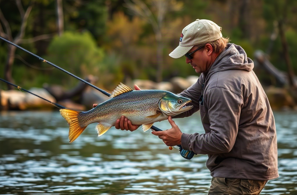
Use local knowledge to enhance your fishing trips by gathering recent, location-specific information about fish movement, productive depths, access conditions, and effective presentations before choosing where and when to cast. Speak with tackle-shop staff, guides, marina workers, and anglers who regularly observe the water, then compare their advice with weather, flow, and tide information. Ask precise questions about recent patterns rather than requesting someone’s favorite spot. Treat every report as a starting hypothesis because conditions and regulations can change quickly. Confirm the information on the water by watching bait activity, water clarity, current seams, and your first hour of results.
Identify the Local Information That Affects a Fishing Day
Useful local knowledge describes what fish and anglers have been doing under recent conditions, not merely where fish were caught years ago. The most valuable details usually concern seasonal movement, feeding windows, productive depth ranges, water clarity, current direction, access limitations, and presentations that match the available forage. A named location has limited value without that surrounding context.

Consider a reservoir where anglers report catching bass near a creek mouth. The creek mouth is only the visible part of the pattern. Fish may actually be holding where stained inflow meets clearer lake water, or along a drop where wind pushes baitfish through the area. If the wind changes or the inflow clears, copying the location without understanding the mechanism may produce an empty morning. Asking what the water looked like, how deep the bites came, and what time activity peaked reveals more than collecting another map pin.
Local information also affects logistics. A launch ramp may become difficult at low water, a shoreline path may be closed, or a public access point may fill before sunrise. Marina employees, local tackle shops, park staff, guides, and fishing clubs often notice these practical changes before an occasional visitor does. Official agency pages should still be used to confirm seasons, size limits, closures, and licensing requirements. Informal reports are not substitutes for current regulations.
Prioritize recent observations from people who regularly visit the same body of water. A report from yesterday under similar weather and flow conditions generally deserves more weight than a celebrated catch from last month. Even a fresh report has limits: anglers may describe depth differently, with one person reporting the lure’s running depth and another reporting the total water depth.
A compact information checklist keeps the research focused:
- Fish location: depth, cover, structure, current, and distance from shore.
- Timing: productive hours, tide stage, generation period, or wind window.
- Presentation: lure category, retrieve speed, bait size, and position in the water column.
- Conditions: clarity, temperature trend, flow, recent rain, and fishing pressure.
- Access: ramp status, parking, safe routes, restricted areas, and operating hours.
The common mistake is treating local knowledge as a shortcut to a secret spot. Location sharing may help briefly, but pattern information remains useful when fish move. Readers researching how to use local knowledge to enhance your fishing trips should concentrate on repeatable relationships between fish, water, forage, and weather rather than isolated coordinates.
Ask Questions That Produce Useful Answers
Specific questions make it easier for local anglers to share useful information without giving away a carefully developed location. “Where are they biting?” can sound like a request for coordinates. “Are fish using shallow cover after sunrise, or pulling toward the first drop?” invites a discussion about behavior. That distinction often determines whether the answer is guarded or genuinely helpful.
Begin by explaining the type of trip you are planning. Mention whether you will fish from shore, kayak, or boat; the species you hope to catch; and the general part of the water you can reach. A shore angler gains little from a report about suspended fish over a deep offshore channel. Likewise, advice built around live bait may not suit someone who intends to fish artificial lures. Clear constraints let the other person filter observations instead of offering broad recommendations.
Questions about change are especially productive. Ask whether recent rain moved fish toward inflows, whether a cold front slowed the bite, or whether boat traffic pushed activity earlier. Follow with a question about failure: “What stopped working this week?” Knowing that an aggressive moving bait has faded can prevent hours of unproductive casting and point toward a slower bottom presentation or a smaller profile.
A tackle-shop conversation might produce three clues: fish are being caught before the sun reaches the bank, the bites are coming outside submerged vegetation, and smaller shad-colored lures are outperforming larger ones. Those clues support a testable approach without identifying anyone’s exact location. Arrive early, locate vegetation near deeper water, and begin with a compact lure that resembles local forage. If the shop sells you a bait, ask how anglers are rigging and retrieving it; color alone is rarely the complete explanation.
Courtesy improves both the quality of the exchange and the reputation of visiting anglers. Buy supplies when a shop has provided meaningful assistance, avoid pressing after someone declines to name a place, and never publish another angler’s precise location without permission. Guides can offer the deepest instruction because local observation is their profession, but hiring one involves a higher cost than collecting casual reports. For a first visit to complicated tidal water or a large reservoir, that cost may buy instruction about navigation, seasonal movement, and presentation that remains useful beyond a single day.
Weak questioning also creates false confidence. An angler may say fish are “shallow,” meaning eight feet on a steep lake, while a visitor imagines two feet along the bank. Convert vague terms into measurable details whenever possible: depth, distance, tide stage, lure weight, retrieve speed, or visible cover. Precision reduces misunderstanding without turning the conversation into an interrogation.
Verify Reports Against Current Water Conditions
Every local report should be tested against the conditions you actually encounter. Fish location can shift after heavy rain, changing current, falling water, strong wind, a cold front, or intense fishing pressure. Local knowledge narrows the search, but direct observation determines whether yesterday’s pattern still exists.
Compare the report with reliable environmental information before leaving. River gauges can show rising or falling flow, marine forecasts can reveal unsafe wind, and tide predictions can identify when current is likely to change. Weather forecasts help anticipate visibility, temperature trends, and exposure. These sources do not tell you exactly where fish will bite; they show whether the conditions behind a local report are likely to persist. Current rules and advisories should come from the responsible fish and wildlife, park, water-management, or marine authority.
On arrival, pause before rigging every rod. Check whether the water is clearer or muddier than described, which bank receives the wind, whether baitfish or insects are visible, and whether current creates seams, eddies, or slack pockets. Notice where other anglers are positioned, but do not crowd them or assume their presence proves fish are active. Several boats may be repeating an old report rather than responding to current evidence.
Suppose a river report recommends fishing a current seam beside an island. Overnight rain raises the river and strengthens the flow. The original seam may become too fast for fish to hold comfortably, while a new soft-water pocket forms farther behind the island. The local principle—fish using a current boundary—can remain correct even though the exact casting position changes. Copying the waypoint fails; applying the reason behind it adapts to the new flow.

Use the first hour as a controlled verification period. Start near the reported depth and cover, but change one major variable at a time. Adjust casting angle before abandoning the area, especially in current. Then test depth, retrieve speed, or lure profile. Simultaneously changing location, lure, depth, and speed makes it impossible to identify why results changed.
Signs that a report is holding include repeated bait activity, fish marks at the expected depth, follows or short strikes, and bites occurring where the predicted cover meets suitable water. Signs of failure include lifeless water, absent forage, a major clarity difference, no response after several deliberate presentation changes, or unsafe conditions. At that point, return to the broader seasonal pattern rather than stubbornly guarding borrowed coordinates. A sound approach to how to use local knowledge to enhance your fishing trips leaves room for the water to overrule the report.
Turn Local Clues Into a Practical Fishing Plan
A workable plan converts several clues into priorities, backup options, and decision points. Begin with the timing factor that cannot be moved, such as sunrise, tide, scheduled dam generation, an access opening, or a forecast wind increase. Build the route around that window instead of visiting locations in a convenient but biologically unhelpful order.
Choose an initial area where multiple clues overlap. If locals mention an early shallow bite, recent wind-driven baitfish, and fish moving toward deeper water after sunrise, select a bank that receives wind and offers a nearby break. Fish the shallow feeding zone first, then move toward the outside edge as light increases. This approach follows a movement route rather than treating two depths as unrelated spots.
Carry enough tackle to test the pattern without packing every possible option. One presentation can cover active fish, another can probe the reported depth slowly, and a third can offer a smaller or more natural profile. Excessive lure changes often disguise a location or timing problem. If fish are no longer using a shallow flat, cycling through ten colors on that flat is less productive than checking the adjacent drop.
Set decision points before fishing so optimism does not consume the whole trip. For example, give the first area enough time to test its key cover and depth, then move if there are no signs of bait, fish, or improving conditions. If there are follows or missed strikes, stay and refine lure size, speed, hook exposure, or casting angle. A complete absence of life argues for relocation; imperfect contact argues for adjustment.
Keep a simple trip log with date, water level or tide, clarity, wind direction, productive depth, cover, presentation, and time of each bite. Record failed assumptions as carefully as catches. After several visits, your own observations become local knowledge. You may notice that one shoreline produces only when wind reaches it for several hours, or that a creek remains too muddy for a day after rain while another clears quickly.
Reports from multiple sources should be weighted rather than counted as votes. Two independent observations describing the same depth and forage deserve attention, but several social posts may all repeat one original catch. Favor firsthand, recent descriptions with condition details. Photos can provide clues about sky, water color, vegetation, or fish condition, yet posting time may not match catch time and backgrounds may be intentionally obscured.
The failure mode at this stage is overplanning. A detailed schedule can collapse when parking is full, wind makes a bank unsafe, or fish move sooner than expected. Prepare one primary pattern and one contrasting backup, such as shallow cover versus a nearby depth break. That structure is firm enough to guide decisions and flexible enough to respond to evidence.
Frequently Asked Questions
Who should I ask for local fishing information?
Try independent tackle shops, marina staff, guides, fishing clubs, park personnel, and anglers who regularly visit the water. Use official agencies to verify access rules, seasons, limits, closures, and advisories.
How recent should a fishing report be?
Favor reports from the past few days when conditions remain similar. Older information can still explain seasonal patterns, but it becomes less reliable after major weather, flow, tide, temperature, or water-level changes.
How can I ask about a spot without being intrusive?
Ask about depth, cover, current, forage, timing, and presentation rather than exact coordinates. Share your access method and target species so the person can offer relevant information without exposing a private location.
Should I trust fishing reports on social media?
Treat them as leads, not proof of current conditions. Posting dates may differ from catch dates, details may be incomplete, and several posts may trace back to the same report. Verify the pattern on arrival.
What should I do when local advice does not work?
Check whether water clarity, wind, flow, depth, or bait activity differs from the report. Test a few controlled adjustments, then move to a backup area based on the broader seasonal pattern rather than remaining on one waypoint.
Conclusion
Local knowledge becomes valuable when it explains fish behavior under identifiable conditions. Seek recent details about depth, cover, forage, timing, access, and presentations, then confirm legal requirements through the responsible authority. Ask focused questions that respect other anglers’ locations and clarify vague terms before acting on them.
At the water, compare every report with current clarity, wind, flow, tide, and bait activity. Test the underlying pattern instead of copying a coordinate, and use predetermined decision points to distinguish a presentation problem from an unproductive area. After the trip, record what matched the reports, what changed, and which adjustments produced contact. That record gradually replaces borrowed information with firsthand knowledge tailored to the waters you fish.

