
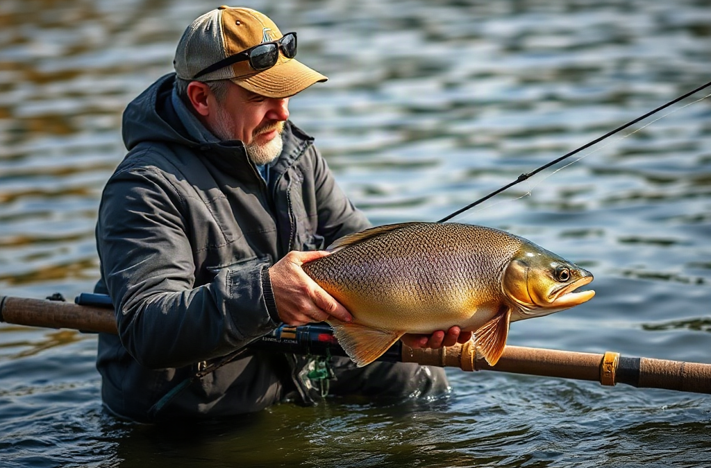
Approach fishing in new territories by checking access and local rules first, then reading a map, observing visible cover and current, and testing several depths with a small selection of adaptable lures or baits. Begin near features that concentrate food, such as points, channel edges, shade, inflows, weed boundaries, and current seams. Keep moving until bites, follows, baitfish, or sonar marks reveal a productive pattern. Record the depth, retrieve speed, bottom type, and weather associated with each response. Avoid committing the entire outing to attractive-looking water before fish behavior confirms that the location is productive.
What you’ll learn
This guide covers the following practical points:
- Confirm Access, Regulations, and Practical Limits — A productive first visit begins by separating water that merely looks fishable from water you can legally, safely, and realistically reach.
- Read the Water Before Choosing a Spot — Fish location is usually easier to interpret through transitions than through isolated objects.
- Search Efficiently With a Small Tackle Selection — A first outing should test location, depth, speed, and presentation without forcing constant tackle changes.
- Turn Fish Responses Into a Repeatable Pattern — A bite is useful information only when its surrounding details are noticed.
Confirm Access, Regulations, and Practical Limits
A productive first visit begins by separating water that merely looks fishable from water you can legally, safely, and realistically reach. Consult the responsible fish and wildlife agency before leaving home, because licenses, seasons, species restrictions, protected areas, allowable tackle, and harvest rules vary by location. Posted notices at a ramp or trailhead may contain updates that do not appear on an old screenshot or printed map.
Access deserves the same attention as regulations. A shoreline shown as open on a general map may cross private land, close at sunset, prohibit parking, or require a permit. Boat anglers should verify ramp hours, launch conditions, motor restrictions, and navigational hazards. Bank anglers need a legal route to the water and a safe way back if rain, a rising tide, or darkness changes the shoreline. When ownership is unclear, find another entry rather than assuming an unmarked bank is public.
Practical limits should narrow the search before tackle selection begins. A shallow cartop boat cannot safely cover exposed open water in building wind, while a shore angler may be unable to reach offshore structure identified on a contour map. Water clarity, current strength, expected depth, weather, and available daylight determine which parts of a fishery are sensible targets. A two-hour evening session calls for two or three nearby areas, not a plan that requires crossing the entire lake.
Use a compact pre-trip check rather than collecting information without deciding what it means:

- Permission: Confirm the license, access point, parking, and operating hours.
- Restrictions: Check seasons, size or possession limits, tackle rules, and closed zones.
- Conditions: Review wind, storms, water level, tides where applicable, and daylight.
- Reach: Match candidate areas to the boat, wading ability, shoreline access, and available time.
- Backup: Identify a sheltered or easier location if the primary area is unsafe or occupied.
The common failure is treating research as proof that a particular spot will hold active fish. Maps and reports eliminate poor logistical choices; they do not guarantee feeding activity. Use them to create a short list while preserving enough flexibility to abandon an unproductive area. That distinction is central to how to approach fishing in new territories without wasting the first half of the outing.
Read the Water Before Choosing a Spot
Fish location is usually easier to interpret through transitions than through isolated objects. A single dock, boulder, or patch of weeds may look promising, but its value rises when it meets a depth change, current break, shade line, harder bottom, or nearby route to deeper water. These combinations let fish feed while remaining close to cover, comfortable water, or an escape route.
Study a contour or navigation map at two scales. First, identify broad zones such as creek arms, flats, main channels, points, basins, and inflows. Then inspect the smaller changes within reachable areas: an inside turn in a weed edge, a point touching a channel, a shallow shelf beside deep water, or a constriction that increases current. On rivers, current seams, eddies, bends, bridge pilings, and bank irregularities often matter more than nominal depth because they alter how food travels and how much energy a fish must spend holding position.
Visual observation should challenge the map rather than simply confirm it. Spend several minutes looking for baitfish flicking at the surface, birds repeatedly working one zone, insects collecting along a bank, muddy water entering from a tributary, wind pushing floating material, or a clear boundary between moving and slack water. Polarized glasses can reveal weed growth, submerged wood, bottom color changes, and drop-offs in shallow water. Electronics can show depth and targets, but a sonar arch alone does not identify species or prove that marked fish will bite.
Suppose a reservoir has several similar points. One is exposed to a light wind, holds scattered rock, and drops into the old creek channel; another has a smooth bottom and ends in uniformly shallow water. The first offers more intersecting features and is a stronger place to begin. If cold runoff has made that bank noticeably muddier, however, the sheltered point may become the more practical choice. Conditions can overrule what appears best on a static map.
Avoid reading every visible piece of cover as equally valuable. Long shorelines of continuous reeds or timber can contain too much undifferentiated habitat to fish efficiently. Concentrate on irregularities: the end of a weed bed, an opening in reeds, the first large tree beside a depth break, or a small pocket protected from current. Mark three candidate zones with different characteristics instead of selecting three versions of the same bank. That comparison reveals whether fish favor exposure, protection, shallow cover, or deeper structure.
Search Efficiently With a Small Tackle Selection
A first outing should test location, depth, speed, and presentation without forcing constant tackle changes. Carry a limited set that can cover those variables: one moving presentation for horizontal searching, one slower option for working cover or bottom, and one natural bait or subtle lure when fish appear present but reluctant. The exact choices depend on species and water, but versatility matters more than filling every tackle compartment.
For example, a shore angler exploring an unfamiliar lake might use a small swimbait or spinner to cover open edges, a soft plastic or jig to probe rock and vegetation, and a float-rigged bait to hold at a chosen depth. A river angler could substitute a compact crankbait or spoon for the moving option and use a weighted bait or jig in seams. Large, snag-prone lures may be poor search tools where submerged wood is dense, while very light presentations can be inefficient in strong wind or current.
Search each area systematically. Make several casts at different angles, beginning close enough to avoid casting over fish positioned near the bank or boat. Then cover the middle and outer edge while varying retrieve speed and depth. From a boat, parallel casts often keep a lure in the productive depth band longer than casts made directly toward shore. In current, presenting across or slightly upstream allows the lure or bait to travel naturally through a seam; dragging directly against heavy flow can look unnatural and increase snagging.
Movement should be based on evidence and coverage, not impatience. Leave after you have tested the area’s defining feature at multiple depths and angles without seeing bait, receiving a strike, marking convincing activity, or finding favorable temperature, clarity, or current. Stay longer when you see follows, feel short strikes, repeatedly mark fish near one level, or notice forage concentrated nearby. Those signals suggest that a change in size, color, speed, or presentation may be more useful than relocation.
The opposite mistake is cycling through many lures while making only a few casts with each. That changes too many variables to reveal whether the problem is location or presentation. Keep the lure constant long enough to compare two forms of habitat, then adjust one variable at a time. The disciplined version of how to approach fishing in new territories is a controlled search, not random casting supported by a large tackle box.

Turn Fish Responses Into a Repeatable Pattern
A bite is useful information only when its surrounding details are noticed. Record where the fish was positioned, the approximate depth, bottom or cover type, water movement, lure or bait, retrieve speed, and time. Even a missed strike or visible follow helps narrow the search. Several responses from shaded weed edges in six feet of water are a pattern; one fish from an isolated stump may be coincidence until a similar feature produces again.
After the first response, repeat the feature before repeating the exact location. If a fish bites where a rocky point meets deeper water, try another rocky point with a comparable drop rather than casting indefinitely at the same patch. If the second location produces, confidence increases. If it does not, look for the missing detail: wind direction, bottom hardness, nearby forage, current, shade, or the angle of the break. This process turns an unfamiliar fishery into a set of testable relationships.
Weak patterns often come from labels that are too broad. “Fish are near docks” says little if the productive docks all have shade, eight feet of water, and vegetation at their outer posts. “Fish are shallow” can mislead when they are using only inflowing water or windblown banks. Describe the smallest useful combination of features, but do not make it so narrow that no other location qualifies.
Keep a simple log on a phone or waterproof card. Note productive and unproductive areas, because failed tests prevent repeated mistakes. Photos can preserve shoreline position and water color, provided they are taken safely and do not delay a fish’s release. A waypoint should include a brief label such as “outside weed turn, firm bottom, slow jig” rather than an unexplained marker.
Patterns remain temporary. Rising sun can remove shade, a tide can reverse current, boat traffic can displace shallow fish, and wind can shift forage to another bank. A reliable sign that the approach is working is repeated contact from comparable habitat. A failing pattern produces diminishing activity while conditions change or works at only one isolated spot. Recheck the broad environmental cue, then return to searching rather than defending yesterday’s assumption. The goal is not to solve an entire lake or river in one visit, but to leave with observations that make the next visit more focused.
Frequently Asked Questions
How long should I stay at one spot on unfamiliar water?
Stay long enough to cover the defining structure at several depths and angles. Move sooner when there is no forage, fish response, useful cover, or favorable water condition; remain when follows, strikes, or repeated marks suggest fish are present.
Should I ask a local tackle shop where to fish?
Yes, but ask about current depth ranges, forage, water clarity, and productive habitat rather than expecting an exact location. Confirm all regulation and access information through the responsible agency or land manager.
What lure should I use first in a new fishing area?
Choose a versatile lure that can cover water at several speeds and depths without snagging constantly. Match its size broadly to available forage, then keep it consistent while comparing different habitat types.
Is a fishing map more useful than sonar?
They answer different questions. A map identifies structure and possible routes before arrival, while sonar shows current depth, bottom changes, and targets beneath or beside the boat. Neither proves that marked fish are active.
What should I record after fishing unfamiliar water?
Record access details, productive and unproductive areas, depth, cover, bottom type, current or wind, presentation, and fish responses. Notes about failures are valuable because they prevent repeating the same low-value search.
Additional Resources
Authoritative Sources
- U.S. Fish and Wildlife Service Sport Fish Restoration
fws.govProvides background on fisheries access, management, aquatic education, and state-supported sport-fishing resources
- National Weather Service Safety Information
weather.govOffers official guidance for evaluating lightning, heat, cold, wind, flooding, and other weather hazards before a fishing trip
- NOAA Nautical Charts
nauticalcharts.noaa.govSupplies official chart resources for anglers assessing navigable coastal waters, depths, marked hazards, and shoreline features
Conclusion
New water becomes manageable when each decision removes uncertainty. Verify permission, restrictions, weather, and physical access before selecting reachable areas with useful combinations of structure, cover, depth, forage, and current. Fish those areas with a small, adaptable selection, changing one variable at a time so each response has meaning. A strike, follow, baitfish sighting, or repeated sonar mark should lead to another test of similar habitat rather than endless casting at one location. Keep brief notes on both productive and empty water, then compare them as conditions shift. The next practical step is to choose three legally accessible zones with different characteristics, prepare one backup location, and arrive ready to observe before committing to a spot.

